The Pinnacles National Park
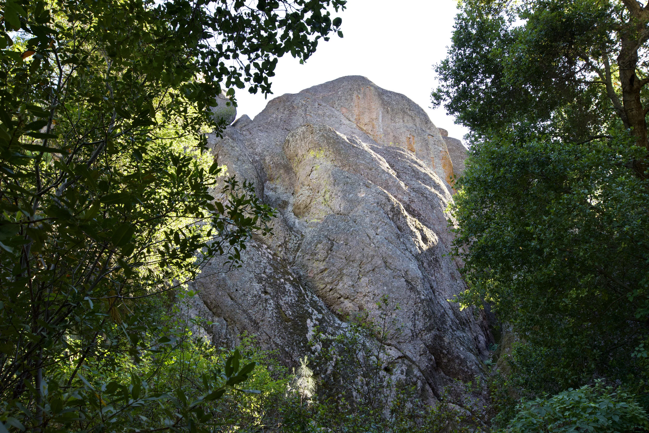
Huge rock amongst the trees.
The Pinnacles National Park is California’s newest National Park. It was previously a National Monument but in 2013, the park received official National Park status when former President Obama designated the area as such. Primarily meant for hiking, the Pinnacles offers over 30 miles of trails, most without much shade. The Pinnacles are famous for the outstanding rock formations that are remains of an ancient volcanic field that originally was located 200 or so miles away but was carried to it’s current location by the San Andreas Fault over millions of years. Aside from rock formations, what makes this park unique is the wildlife that lives within the park. With 80% of the park being protected wilderness, you could get the chance to see Prairie Falcons which nest within the park, the endangered California Red-Legged Frog, over 13 species of bat, lizards, snakes, and if you are really lucky, a California Condor. There are two sides to the park, the East Side and the West Side. It is impossible to drive through the park from one end to the other so plan carefully when choosing which side to visit. I started my journey on the East Side of the park near Bear Gulch, one of the three parking areas on the east side not including The Pinnacles Campground.
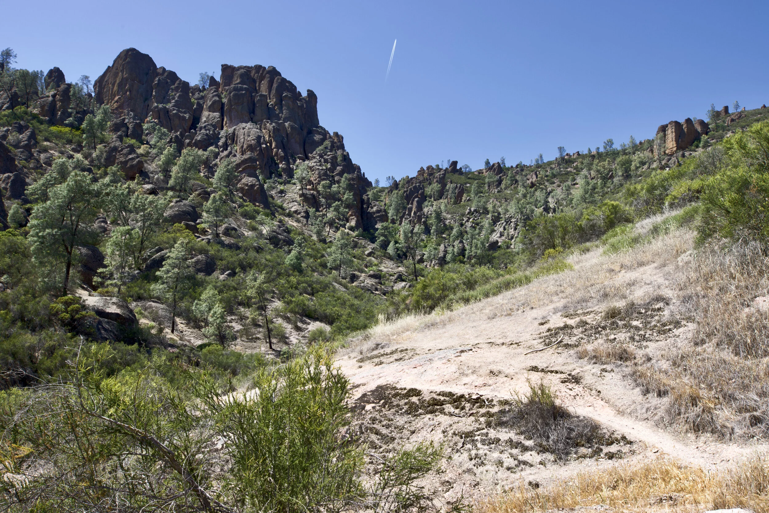
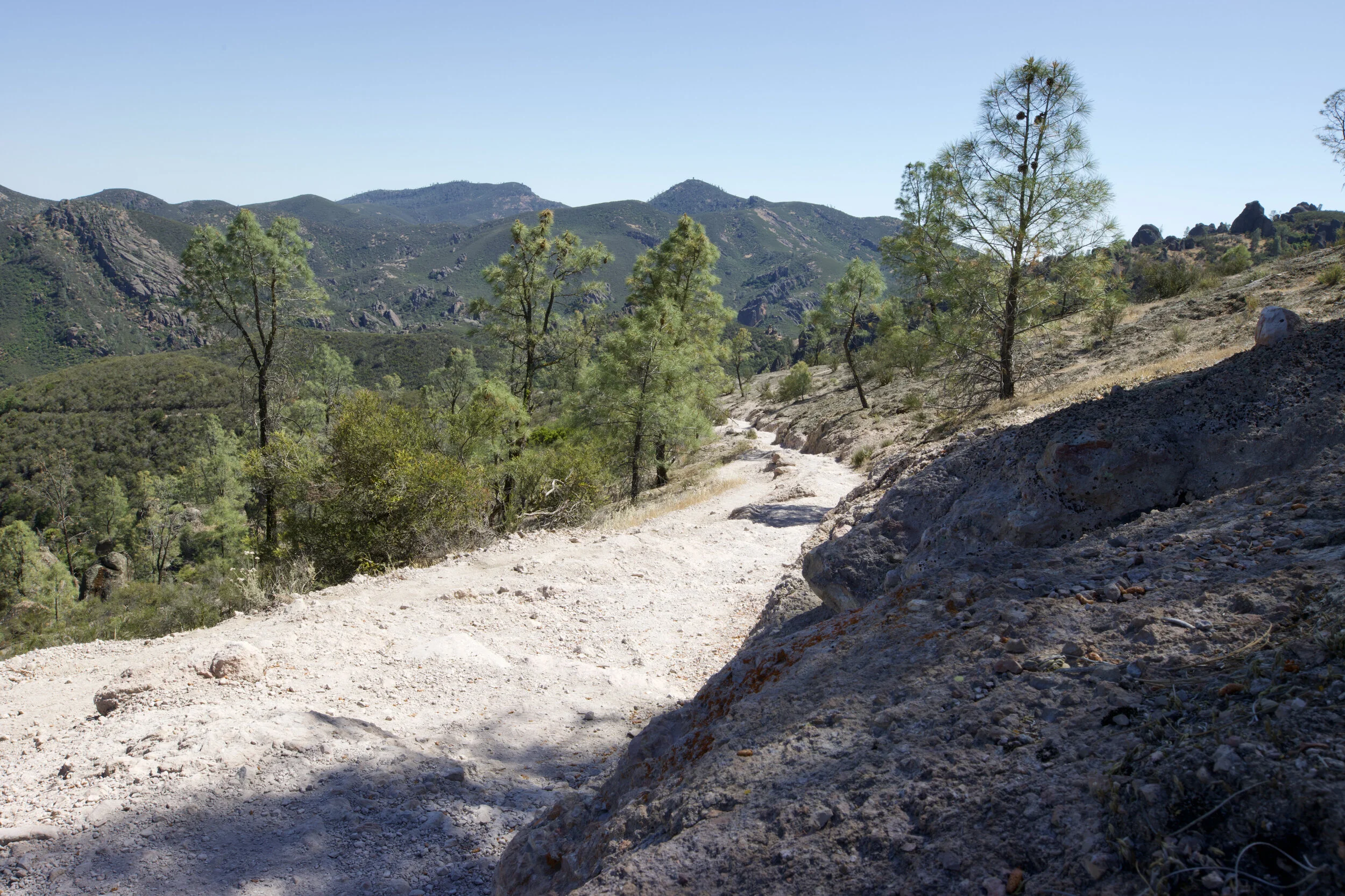
On the way up to the High Peaks along the Condor Gulch Trail.
I began my journey on the Condor Gulch trail after parking at Bear Gulch parking area. Quickly I realized this would not be an easy hike and I began walking up the trail gaining elevation with each step. The park is really dry and hot in later spring and summer so having plenty of water is a must. I would also recommend bringing actual hiking shoes as the trails are primarily a mix of dirt and rock and getting a little dusty is almost inevitable, but thats part of the fun! It isn’t long before you get a glimpse of why the Pinnacles is so spectacular as rock formations begin to appear within sight in minutes.
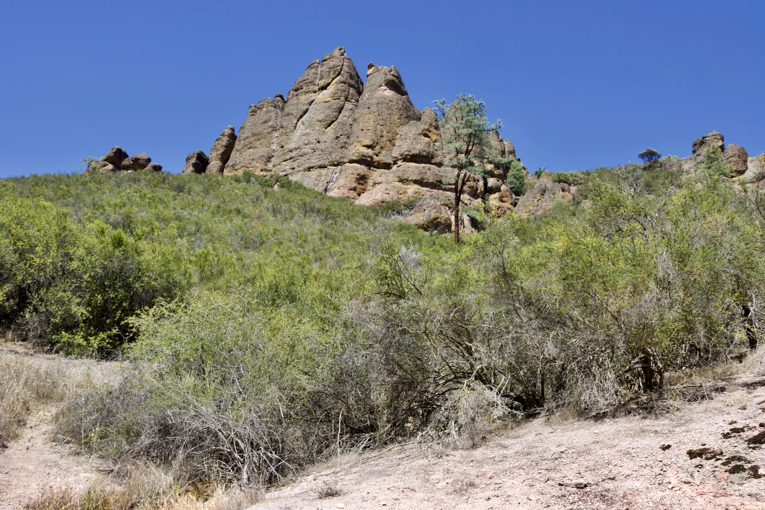
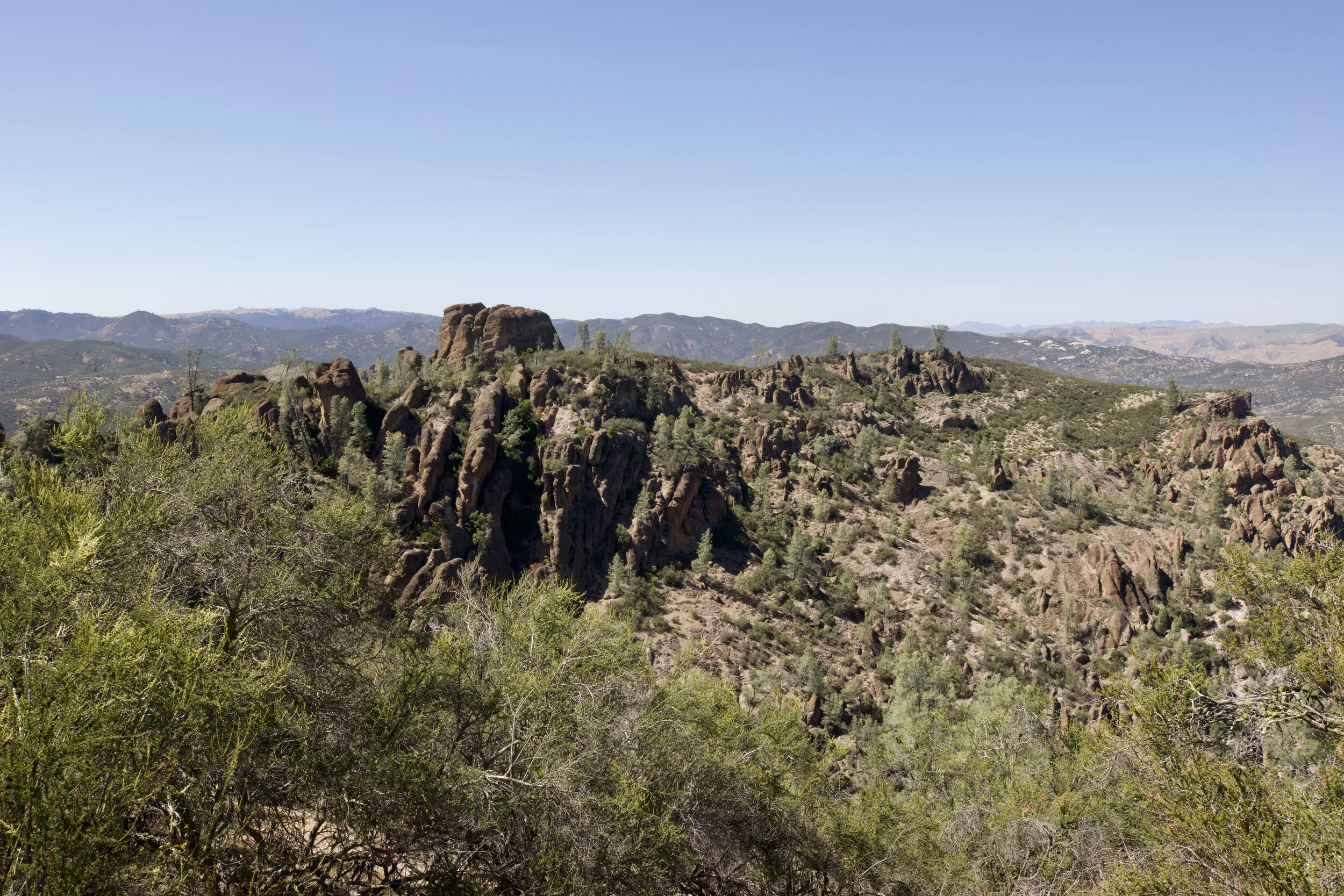
A beautiful rock formation against the blue sky in the background.
About one and a half miles in, you reach the first mountain peak and are able to walk on semi flat ground for a few hundred feet. Here you get the first opportunity to see up close how massive the rock formations are. Looking closely you can see the various colors in the rocks ranging from reddish orange to grey. Before you continue your walk, it would probably be a good idea to drink some water before taking on the next hill if you are parched.
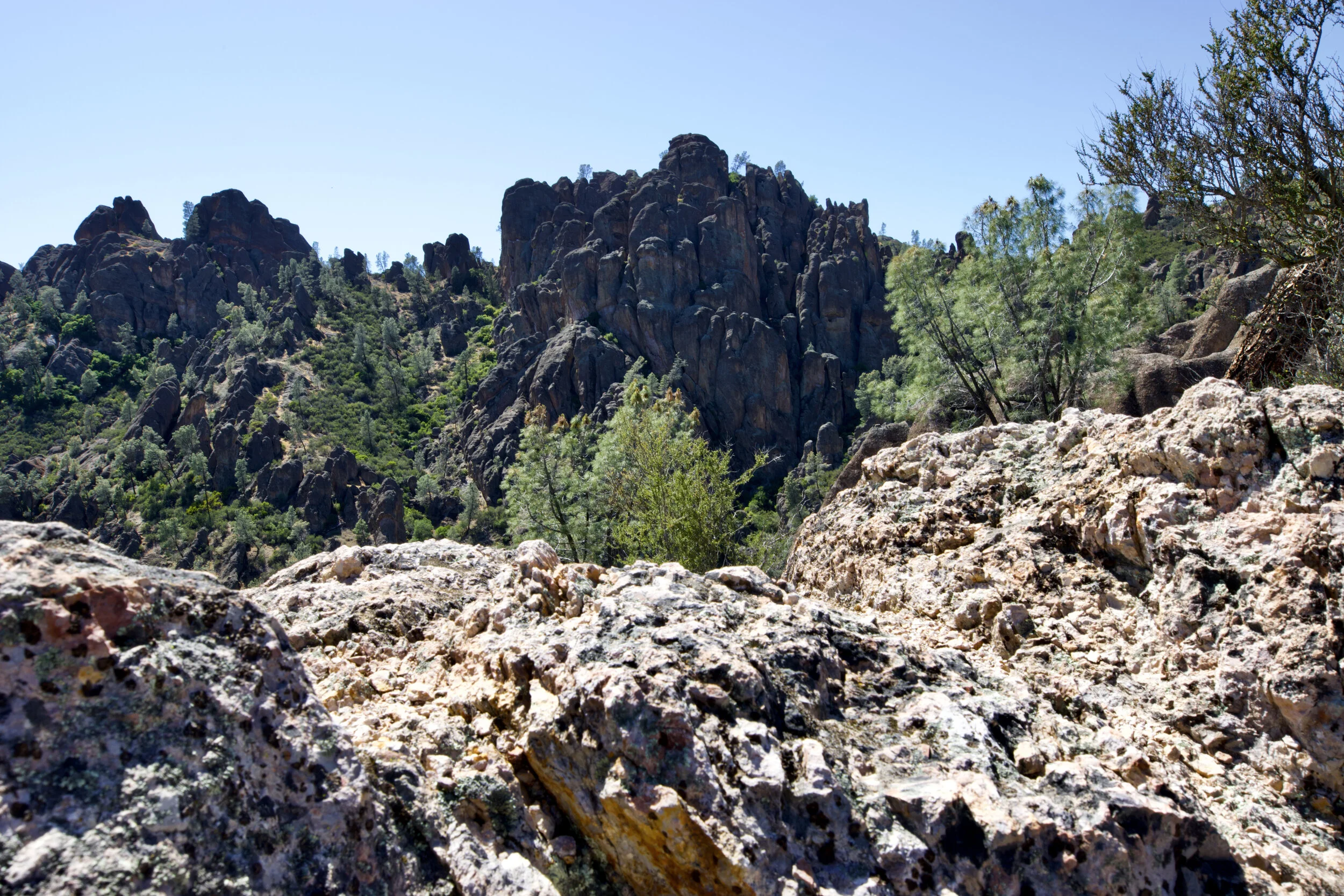
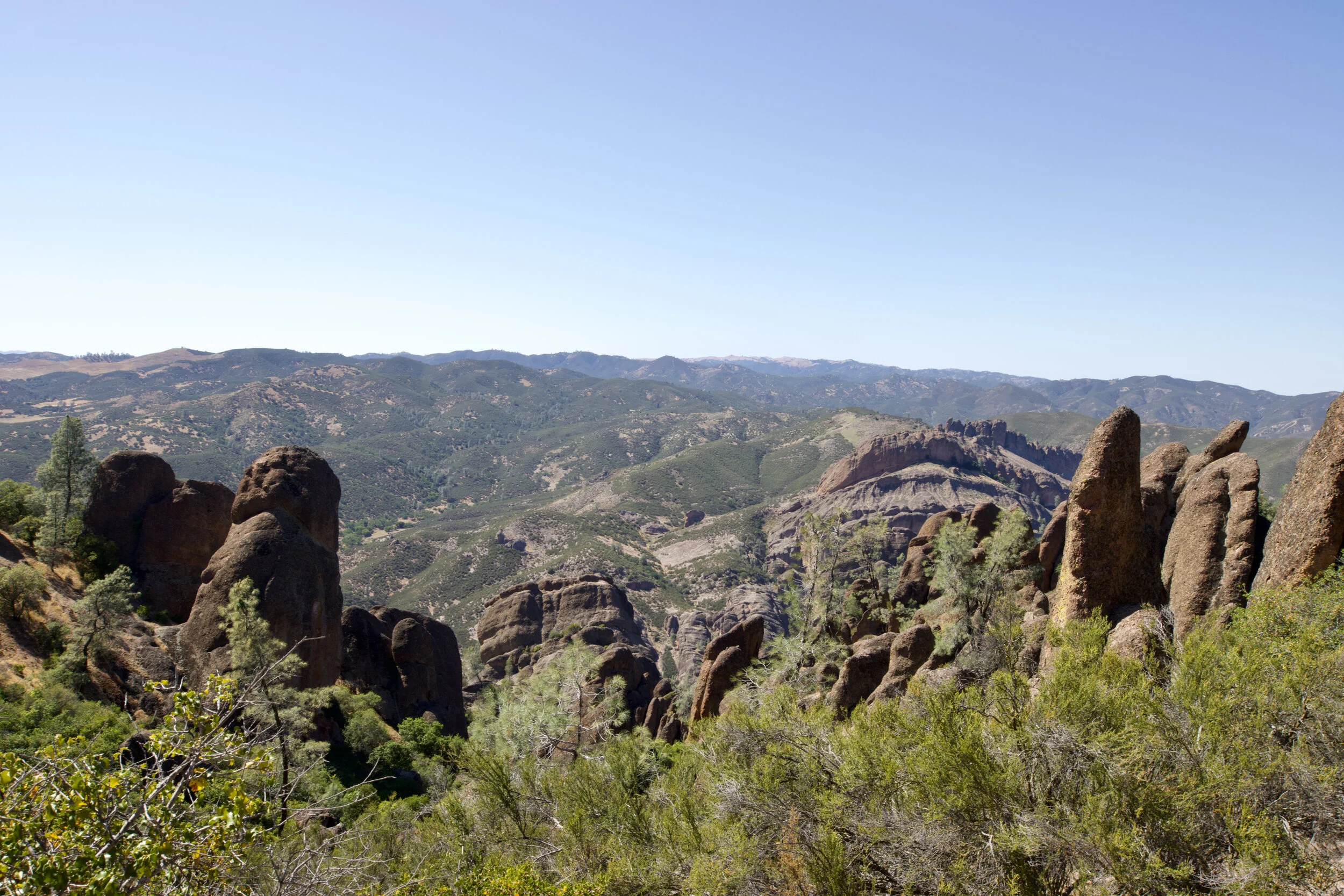
Continuing on you will walk along the side of a mountain. Here there is little shade but during the right time of day you may be able to get shade under a large bush or small tree. Looking out from this higher elevation, you get a glimpse of just how expansive the park is. Looking off towards the mountains you are presented with even more beautiful rock formations but this time, you can really take in the sight as the scenery rests on the backdrop of the rolling California Mountains. Varying shades of green and brown together offer unique sights that one is not likely to forget.
Keeping an eye out, you might notice some interesting cave like structures within the rock wall. Some of these are big enough for one person to fit into. Though these may look like caves, they do not go very deep. The Pinnacles do however have two caves that are open during the year under normal circumstances (Closed during covid). Probably the most famous cave in The Pinnacles is Bear Gulch Cave which is located on the east end of the park near the Bear Gulch Reservoir.
The expansive landscape looking out from High Peaks Trail.
You know you are getting close to the High Peaks when you come across this set of very steep steps that have been built into the rock. A rail is built into the rock as well to help assist travelers as they climb these steep steps. Once at the top, hikers are able to sit in shade as the massive rocks cast enough shadow to cool the area down even during the hottest parts of the day. You are also able to look between rocks and see the expansive landscape before you.
The way down is easier than the way up, although you may have to squeeze into a few tight places on the “steep and narrow” part of the trail. Be sure to watch your head as you bend down and twist in a few areas in order to get through. The walls are not exactly straight so being a bit nimble is helpful.
Small bridge built into the rocks to help travelers get across an opening.
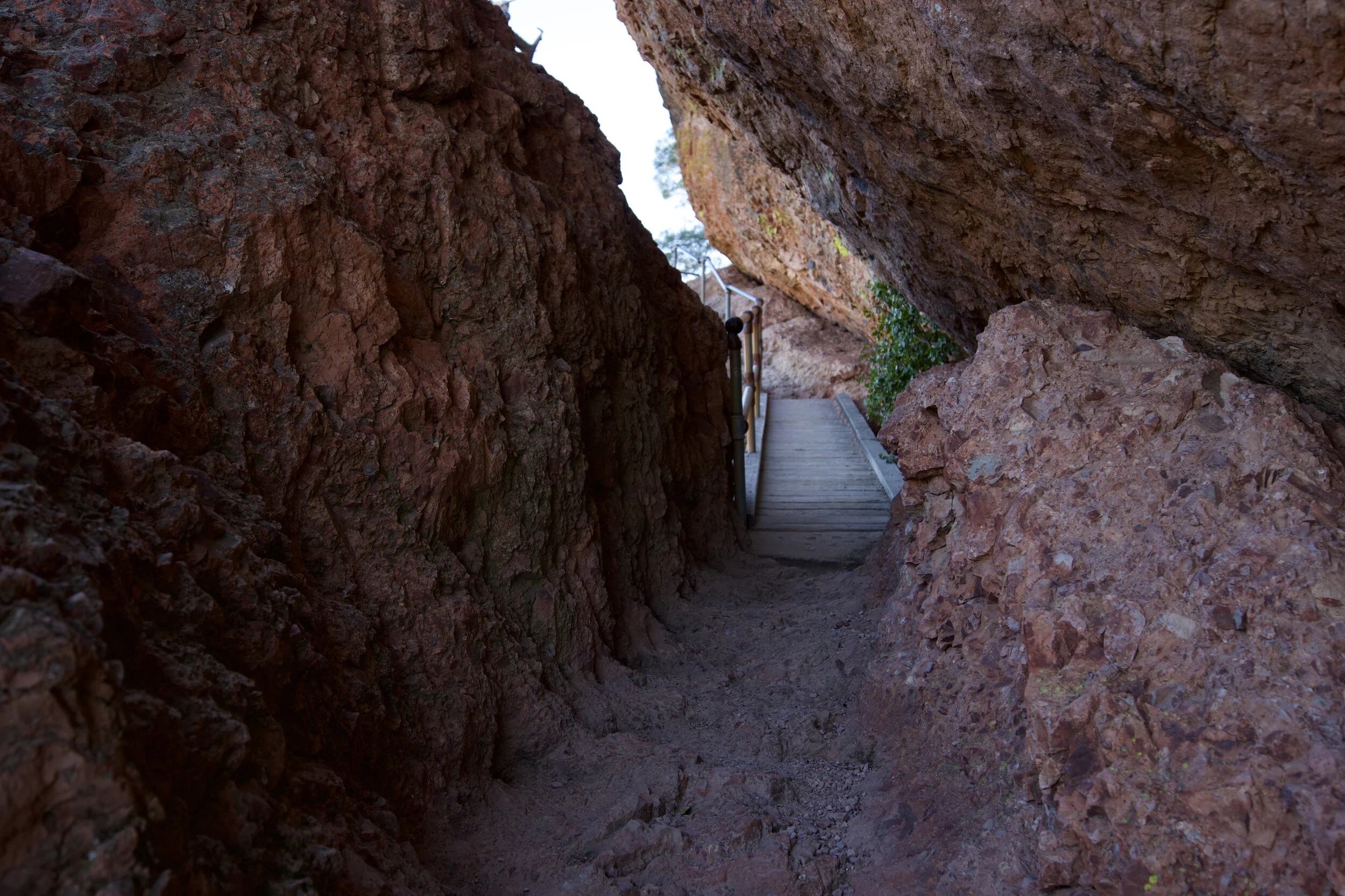
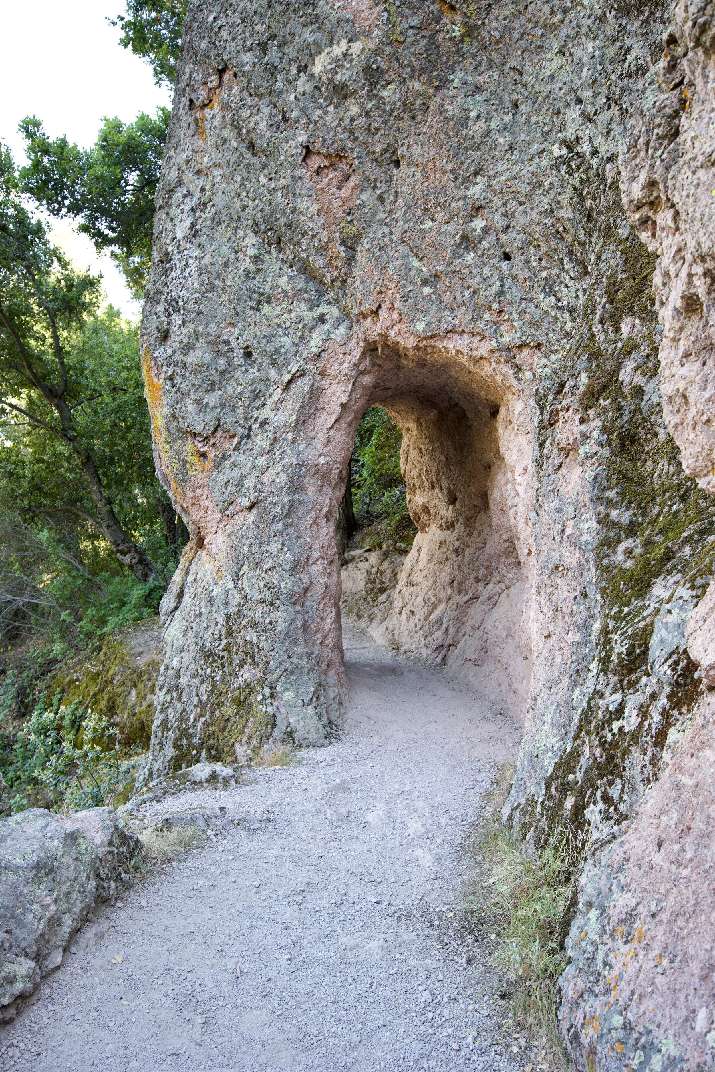
From the top, after going through the steep and narrow part of the trail, it is about 2 miles back to the Bear Gulch parking lot. This is where is you are able to consume a bit more water and catch up on hydration because the toughest part of the hike is over. A mile or so down from the top, you will run into this really cool hole in the rock that you are able to walk through (see below). This may be a good place for a photo op as this part of the trail is more shaded than before and the temperatures are a bit cooler. The next 20 or so minutes of the hike is all downhill and provides a nice break from the heat. After that, you will return to the Bear Gulch parking lot and you will have completed roughly 5 miles of hiking. Congratulations!
A hole in the rock on the High Peaks Trail.
